Atlas
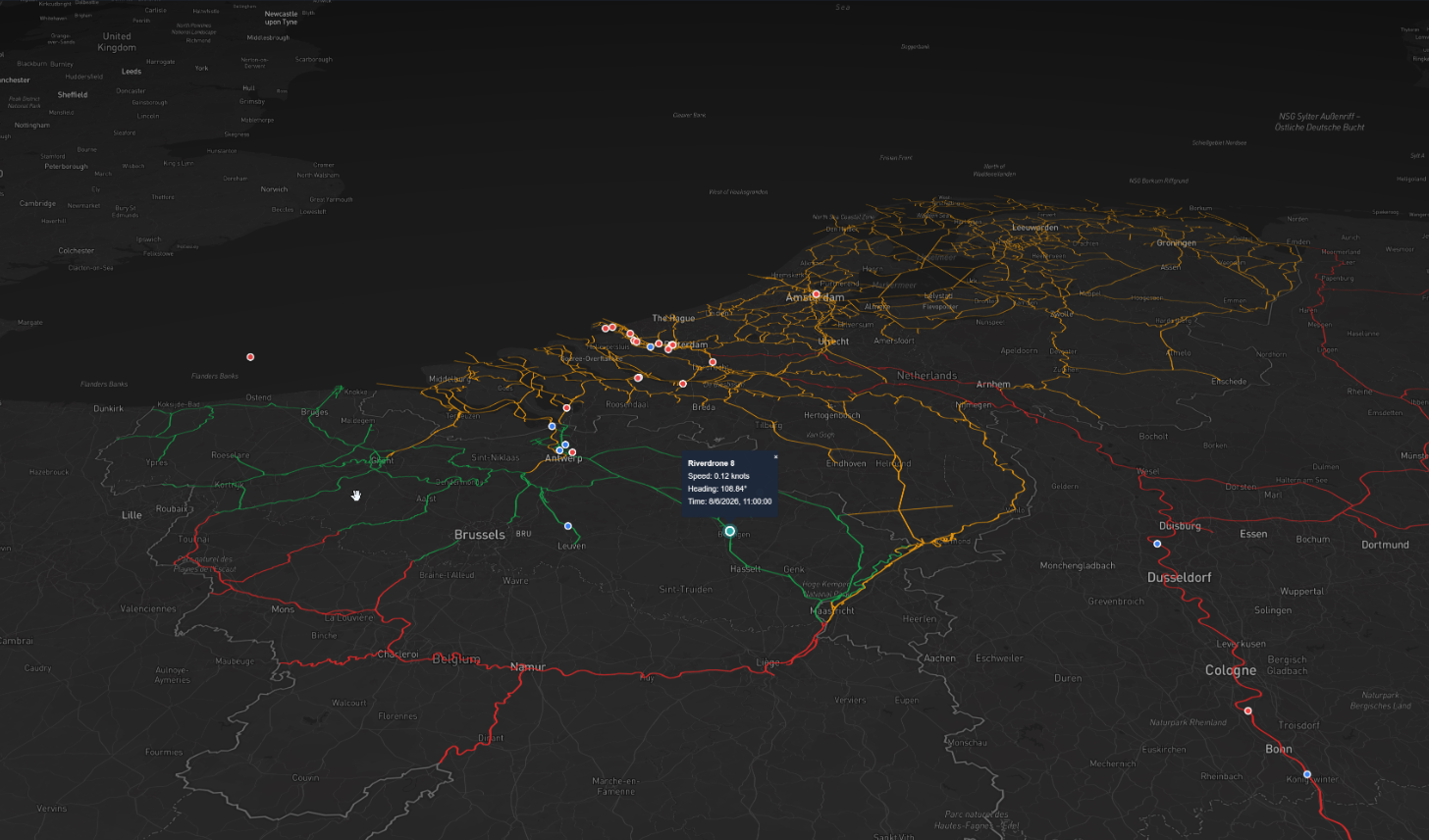
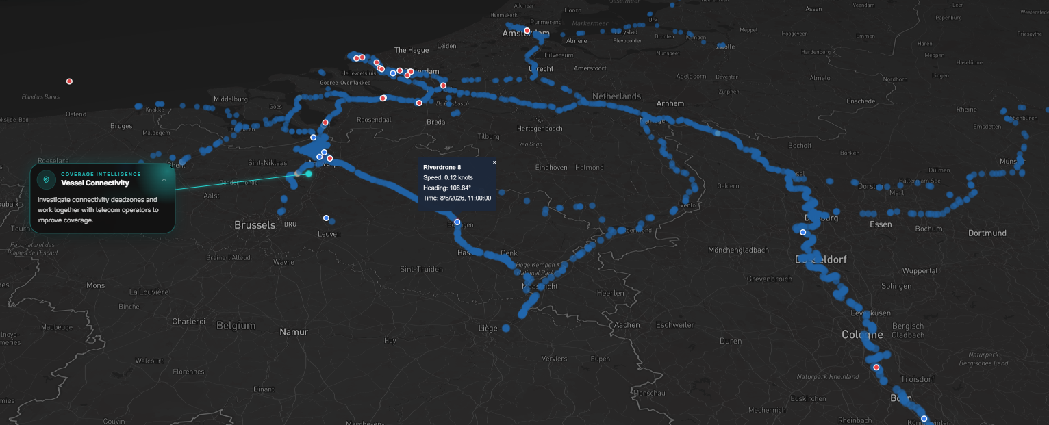
Define navigation zones, enforce port and waterway rules, and trigger alerts the moment a vessel approaches a boundary — one rule engine across every route your fleet runs.
Rules that travel with the route.
Atlas turns waterway and port regulations into enforceable, monitored policy — so operators stay ahead of every boundary, lock and crossing.
Geofenced zones
Draw navigation and exclusion zones over any waterway or port.
Rule enforcement
Encode speed limits, lock procedures and port rules as enforceable policy.
Breach alerting
Operators are alerted the instant a vessel nears or crosses a boundary.
Compliance trail
Every crossing and alert is logged for authorities and clients.
Stay ahead of every boundary.
Zones follow the voyage plan; alerts route to the assigned operator; crossings are exported to authorities. Compliance becomes something the platform does for you.
- Zones follow the voyage plan automatically
- Alerts routed to the assigned remote operator
- Crossings exported to maritime authorities
Make compliance automatic.
Schedule a technical consultation and a live demo of the Seafar Platform with our team.
Request a Demo