Low Water on the Rhine: The Fairway Is Not the Only Variable
Payload is set by the river. Time and fuel are not. Why the response to structural low water on the Rhine has to move beyond the water itself.
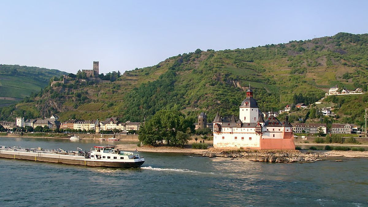
The Rhine is approaching a critical level. At Kaub, between Koblenz and Mainz, the water stands at its lowest point since 2018, and German authorities have warned that navigable depth could drop to one of its lowest points in more than a century of continuous record keeping. Vessels load less. Transport gets more expensive. Surcharges follow.
Transport economist Thierry Vanelslander of the University of Antwerp made an observation in VRT NWS this week that deserves more attention than the water levels themselves: this is no longer exceptional. Since 2019 and 2020 it keeps returning. The sector is not dealing with an incident. It is dealing with a condition.
The response so far has focused almost entirely on the water. Lock management, feeding the river through tributaries and side canals, holding the level where that is still possible. That work is necessary. It also has a ceiling, as Vanelslander points out: the drought covers the whole catchment, the feeding waterways are affected too, and drinking water comes first.
So if the water side is close to its limit, the question becomes a different one. What is still under our control?
Payload is set by the river. Time and fuel are not.
When draught is restricted, the tonnes per voyage are decided by the fairway. No operating model changes that. What an operating model can change is how much time and how much fuel each of those reduced voyages costs, once crew-reduced sailing is permitted at mandatory rest points. That is not yet how vessels operate here. It is what the figures below say becomes possible once it is.
Under current rules, a crewed vessel stops when the boatmaster reaches mandatory rest hours. The cargo waits. The engine is off, but the clock is not. Under crew-reduced operation, once permitted, the boatmaster could hand control to a certified Remote Operator and rest, while the vessel continues its voyage.
We modelled what that could be worth. Based on measured fuel and speed data from the Volharding fleet, roughly eight hours of mandatory stop time could be recovered per voyage. That time could be spent in two ways.
The vessel could make more voyages in the same week, partly offsetting the tonnes lost to draught restrictions. Or it could slow to its fuel-optimal speed and still arrive inside the original delivery window. In that second case, fuel burn per voyage would fall by 54 to 56 percent, based on directly monitored engines rather than a generic estimate.
Neither would make the river deeper. Both would change the cost per tonne. During low water, cost per tonne is the number that decides everything else.
The reverse modal shift is a pricing outcome
Vanelslander names the underlying risk clearly: shippers moving cargo back onto trucks. That is not a loyalty problem and not a communication problem. It is arithmetic. A shipper compares cost per tonne on the water against cost per tonne on the road, and when the water figure rises far enough, the cargo moves.
Which means the answer is not to ask the market for patience. It is to work on the water figure, using every lever available once crew-reduced sailing is permitted. Every hour of vessel productivity recovered and every litre of fuel avoided would then be a direct argument against a truck.
The same logic applies to the mirror image, which Vanelslander also raises. High water blocks vessels under bridges. Again the vessel is idle and the crew is tied to it. A model that distributes scarce navigational expertise across a fleet from shore handles both extremes better than a model that locks one boatmaster to one hull.
What this does not solve
Remote operations does not add a centimetre of water. It does not replace lock management, river engineering, or fleet renewal towards shallower-draught designs. Anyone presenting drought as a technology problem is presenting something else.
What it does is widen the set of things that stay adjustable when the river stops cooperating. That is a smaller claim than the sector is usually offered. It is also one that operational data can support.
Measure the river from the vessels
There is a second thing the sector should take from this summer. Almost all public discussion of navigable depth runs on gauge stations at fixed points. Vessels measure depth continuously, everywhere they sail. Our own fleet has logged more than twelve million echo sounder readings since January 2025, across twenty-eight vessels.
That data will not replace official gauges, and it needs careful handling before anyone publishes conclusions from it. But a bottom-up depth record taken from the vessels themselves, set alongside the official measurements, would tell the sector something a fixed gauge network cannot: where the fairway actually pinches, how often, and for how long.
Low water will keep happening. The sector has spent several summers reacting to it. It is worth spending this one building the record, and the operating model, that makes the next one less expensive.
Source of the reported analysis: VRT NWS, 28 July 2026. Fuel and productivity figures are modelled from Seafar's own remote navigation data on the Volharding fleet, September 2025 to March 2026, on the assumption that crew-reduced sailing is permitted at mandatory rest points. That mode of operation is not yet in force.
Original article
Read the full article on VRT NWS